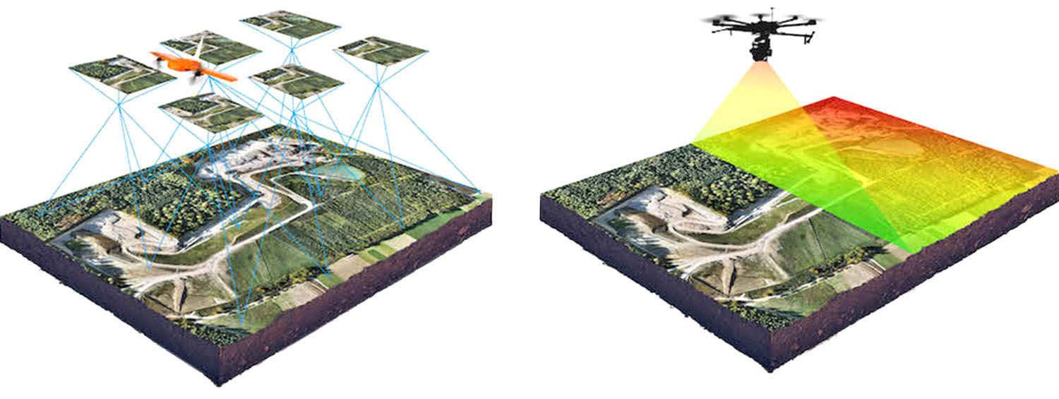
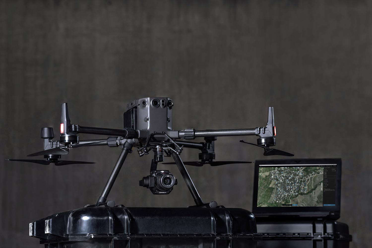
Our unmanned aircrafts and sophisticated camera systems provide a new dimension in the Surveying industry allowing for survey grade accuracy to be achieved effectively and efficiently as compared to traditional surveying methods.
Providing a full range of different types of data analysis, this all can be exported and supplied in various formats.
We can also provide stunning digital 3D models of the site or buildings that can show the project in connection with the surrounding land to give a clear visual understanding and highly useful in a wide variety of applications.
We provide accurate contour surveys for architects and planners to allow for the progression of accurate drawings to help provide a quote, and to eliminate any unforeseen issues as the project develops. Volumetric surveys are similar yet far more precise in comparison to traditional topographical surveys as particular attention is made to details and it’s relevant boundaries.
The technology is essential in industries such as mining, due to our drones’ ability to provide realtime calculations on the data received.
The possibilities that aerial photography brings is endless. Capturing your entire venue, couple shoot and surrounding landscapes with spectacular views giving a grandeur scale of the grounds.
We are fully licensed by the Civil Aviation Authority and submitting all documentation such as risk assessments and public liability insurance to venues/sites gives every client complete peace of mind.